
A 42.7 mile cycle ride along the Salter Fell Track and over the Trough of Bowland
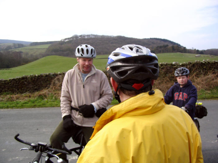
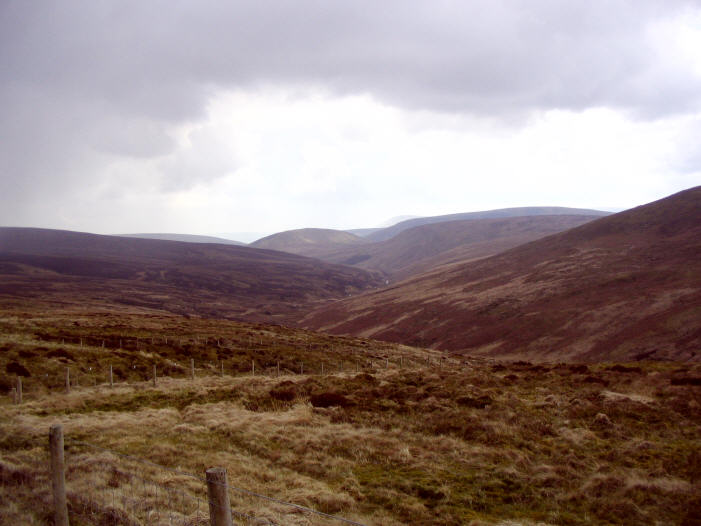
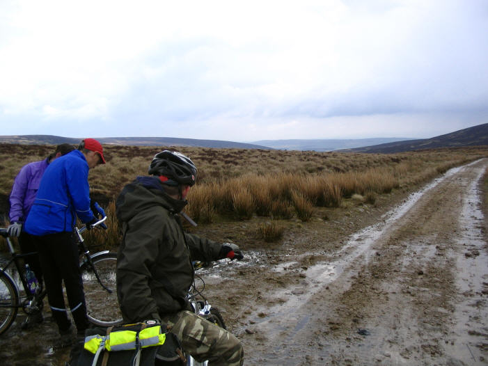
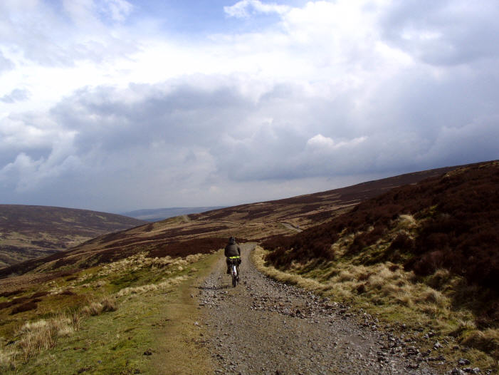
This is 42.7 mile cycle route, starting and finishing at Halton Station, there are four off-road sections (allow about two hours to do the Salter Fell Track, it may take longer depending on the weather conditions) and one café stop at Dunsop Village Hall (Which only open in Summer months on Sundays). You can see more photos of the route and read ride report which this route is based on at this link. The map you need on this ride is Ordnance Survey Explorer Map OL 41 Forest of Bowland & Ribblesdale. You can click here to download the route in Tracklogs Format or click here to download the route in GPS Exchange Format.

'Where's the Brew Stop? The off-road cycle touring website'.
About off- road cycle touring routes, cyclist’s cafes, off-road cycle touring, local group events and good photos.
For cyclists who love off-road leisure cycling in Northern England
About off- road cycle touring routes, cyclist’s cafes, off-road cycle touring, local group events and good photos.
For cyclists who love off-road leisure cycling in Northern England
We use cookies to ensure that we give you best possible experience on our website. By continuing to use the website we assume that you agree to our use of cookies and you read our site privacy policy at this link.
The off-road cycle touring route guide

To download a route, click the link to gps route file you are interest in downloading, then click ‘save link as’ to download gps route file to your computer